Driving Road
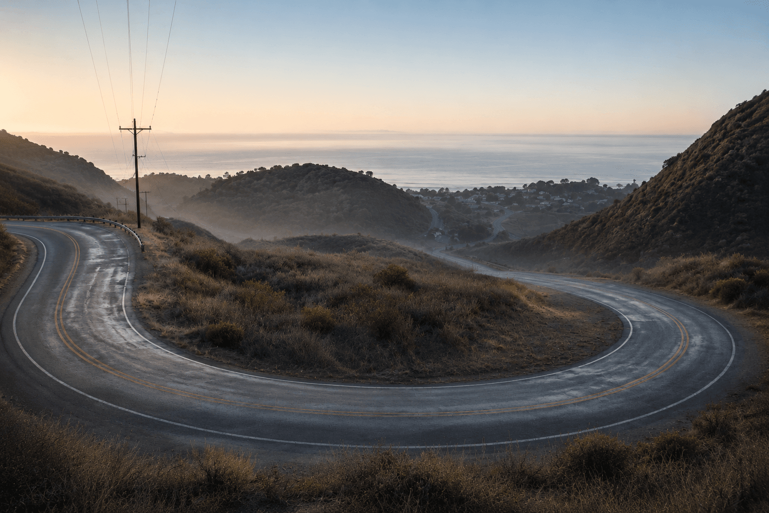
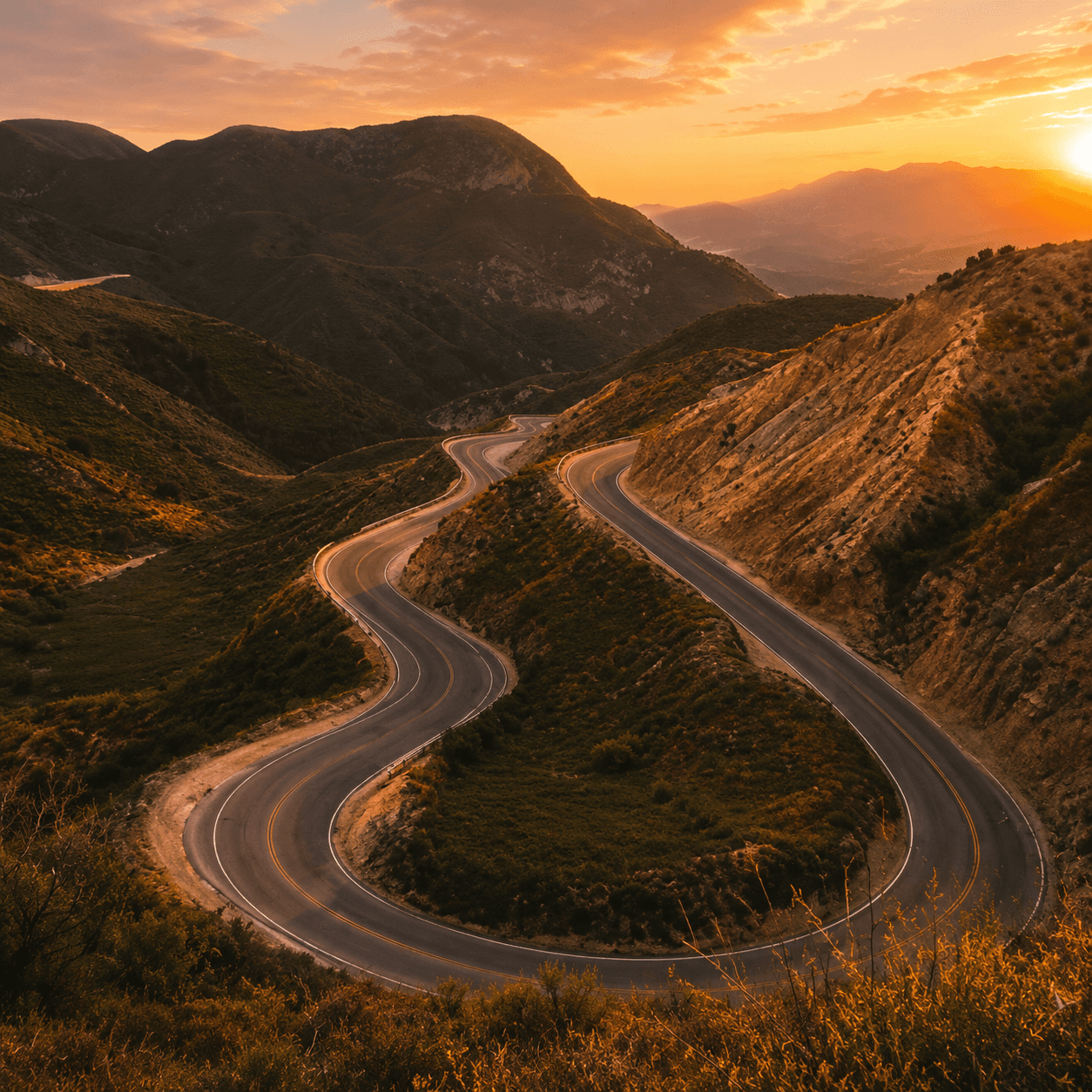
Decker Canyon Road
State Route 23 — a serpentine Santa Monica Mountains test between Malibu and Westlake.
Known for
- State Route 23 (SR-23)
- One of LA's windiest roads
- Malibu ↔ Westlake climb
- Steep elevation + switchbacks
- A real driver's road
- Santa Monica Mountains
Typical visit
25–45 min end to end
Access
Public highway (SR-23); free, open 24/7.
Best Time
Weekday mornings or off-peak for the clearest run.
Traffic
Generally light; locals and enthusiasts on weekends.
Road Conditions
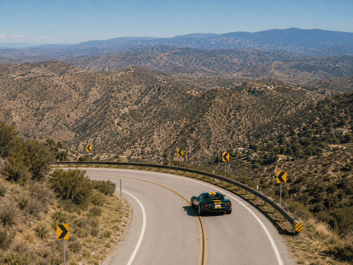
Very tight, steep, and remote in stretches — limited shoulders.
What to expect
Demanding and remote — committed switchbacks with big drops; the views are the reward, not the clock.
What to avoid
Remote with spotty cell service and tight blind turns — give yourself margin and drive within your limits.
Signed as State Route 23, Decker Canyon climbs from PCH into the Santa Monica Mountains toward Westlake — one of LA's windiest, most demanding driving roads, all elevation and switchbacks.
Continue exploringAll spots →