Pullup
EventsSpots
Submit event

Don’t want to scroll?

Get the weekend roundup every Thursday.

Privacy Policy ↗

Pullup2026
AboutEventsSpotsClubsPeopleBrandsSubmit eventContactTermsPrivacy
Pullup is operated by Worldwide Master Solutions LLC
Stunt Road
  1. Pullup›
  2. Spots›
  3. Stunt Road
Driving Road

Stunt Road

CA·Best in the morning
Directions
Quick guide

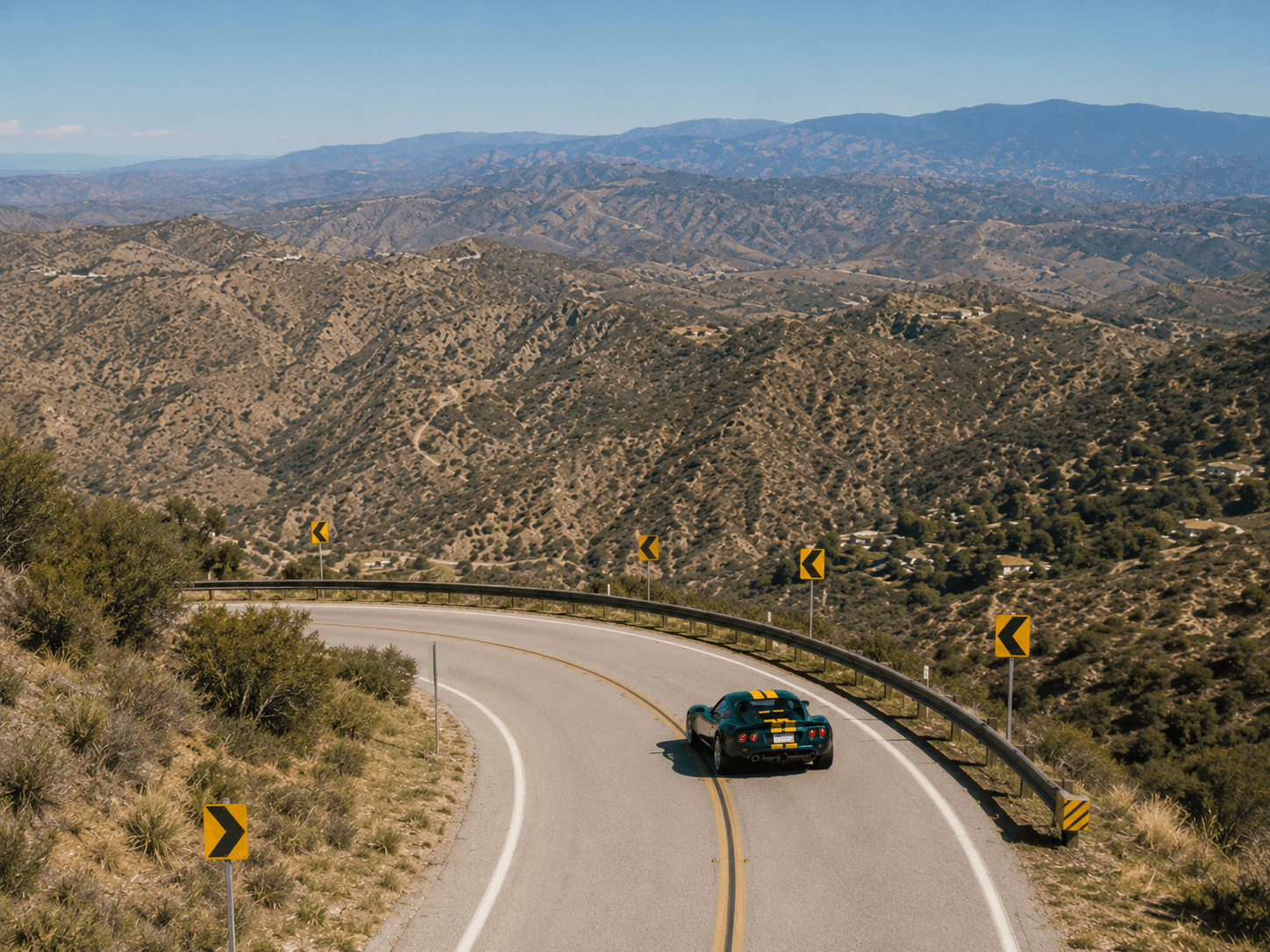
Narrow and winding, with no real shoulder, and as popular with cyclists as with drivers. Riders share these lanes, often around blind corners.

Visit information
Access

Public road climbing from Mulholland Highway near Calabasas to Saddle Peak, linking to Schueren and Saddle Peak roads. Free, open 24/7.

Best Time

Dry weekday daylight for fewer crowds.

Traffic

Popular with motorcyclists, road cyclists, and drivers; busier on weekends.

Road Conditions

Very tight switchbacks with steep, unguarded drop-offs, narrow lanes, and blind corners. Heavily patrolled by CHP and Sheriff. Gravel washes across the road after rain.

Photos
History

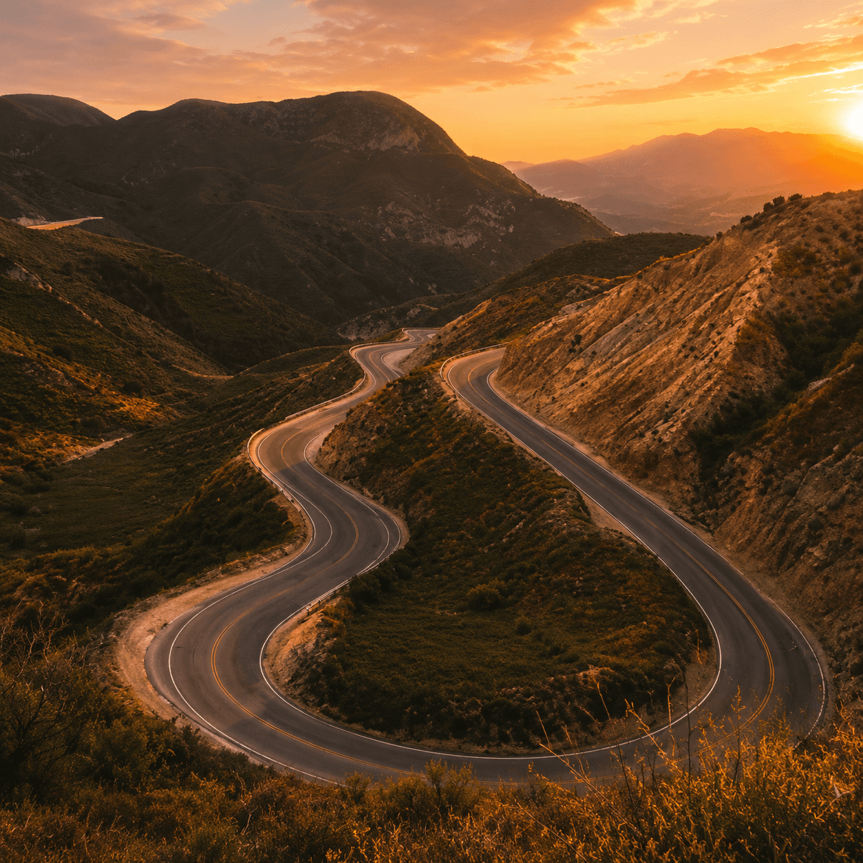
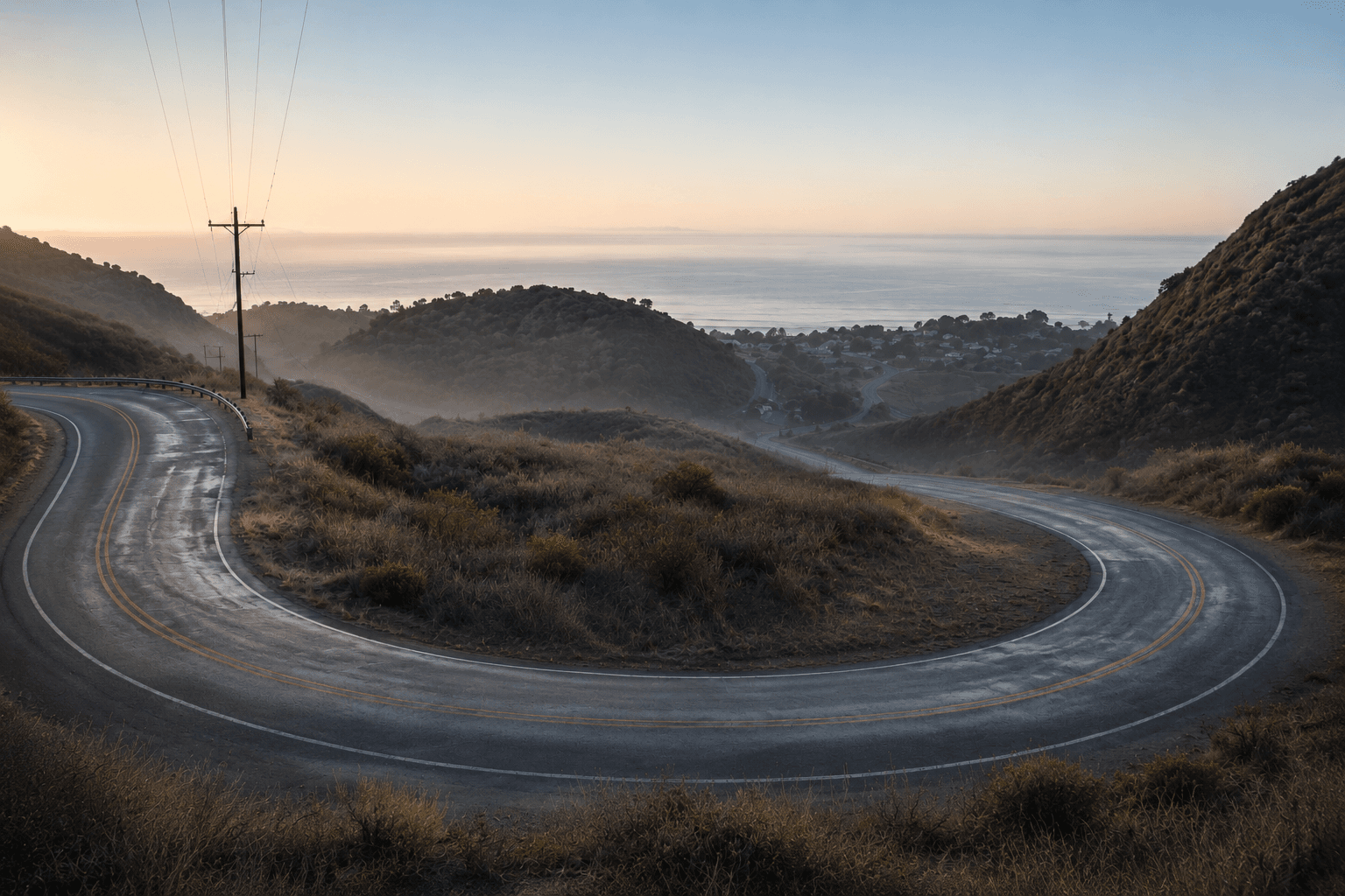
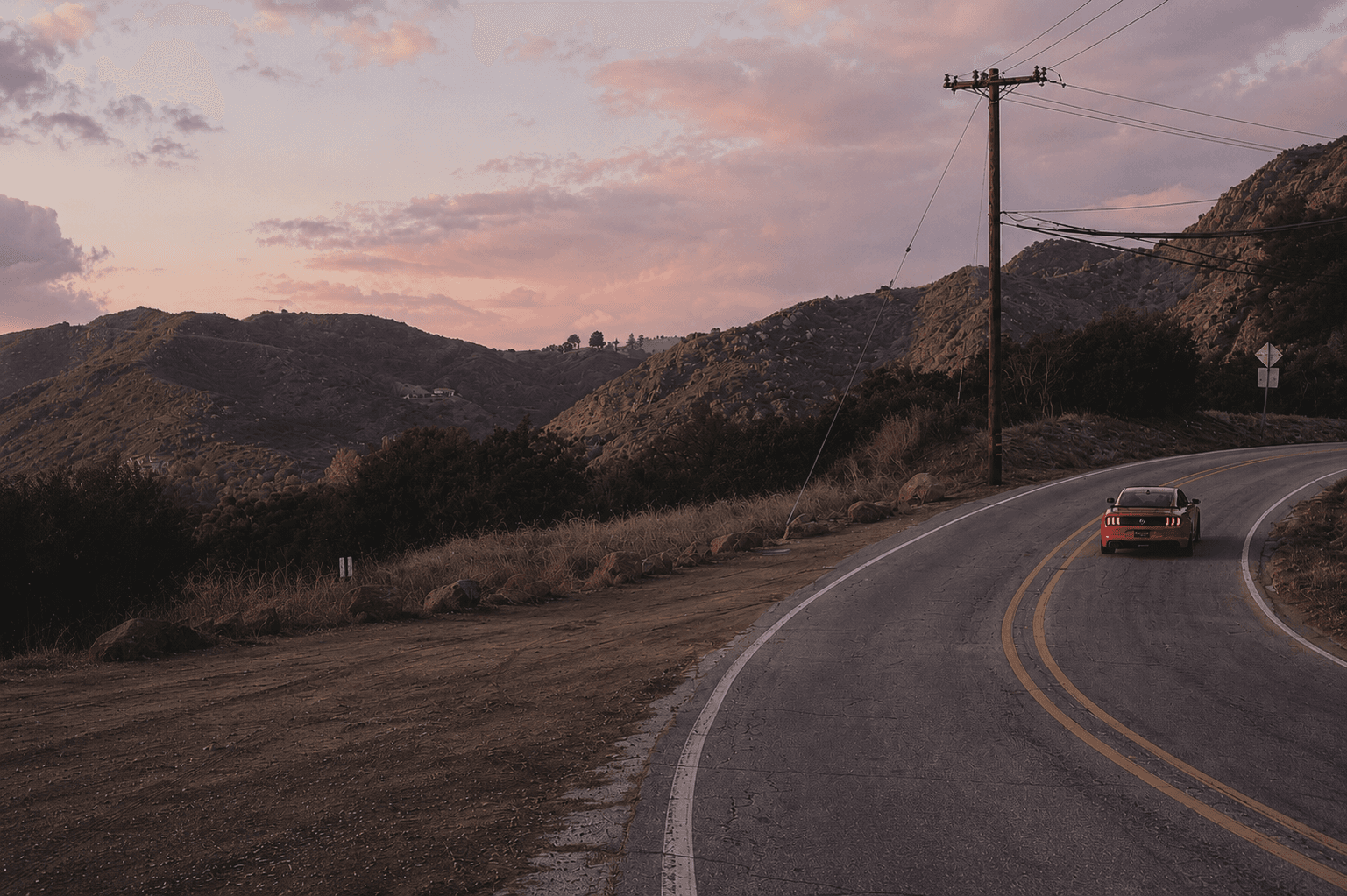
Stunt Road is a four mile connector in the Santa Monica Mountains, running between Mulholland Highway and Saddle Peak. It's less technical than some of its neighbors but carries real curves, dips, and views, and it's one of the classic links in the canyon network up there.

Continue exploringAll spots →
  1. Angeles Crest HighwayDriving Road · Foothills · La Cañada Flintridge→
  2. Glendora Mountain RoadDriving Road · San Gabriel Valley · Glendora→
  3. Little Tujunga CanyonDriving Road · Foothills · Sylmar→
  4. Pacific Coast HighwayDriving Road · Westside · Malibu→
Practical info
Los Angeles, CA
Driving Road
Verified by Pullup
Nearby in Santa Monica MountainsAll spots →
Decker Canyon Road
Driving Road
Decker Canyon Road
Malibu
Latigo Canyon Road
Driving Road
Latigo Canyon Road
Malibu
Mulholland Highway
Driving Road
Mulholland Highway
Agoura Hills